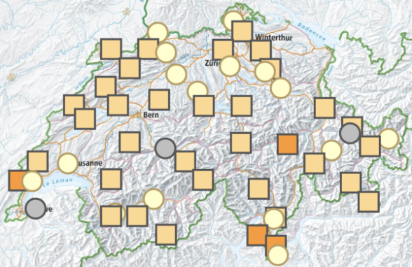
Based on your selection criteria, you are provided with a wide range of graphics and the associated data. Various climate parameters are available for measuring stations, regions, cantons or the whole of Switzerland.
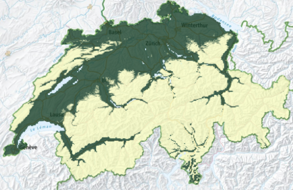
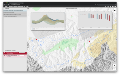
According to your selection criteria you get a wealth of graphics and the corresponding data. Available are future discharge data at different stations all over Switzerland.
The tool can be used to evaluate the risks of climate change in one's own municipality. It also shows concrete recommendations for action and successful examples from other municipalities.
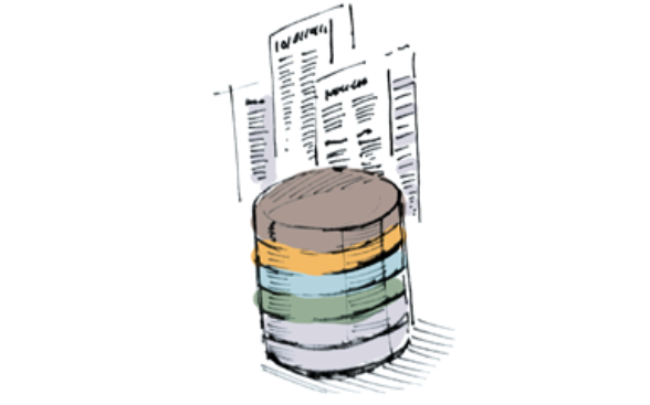
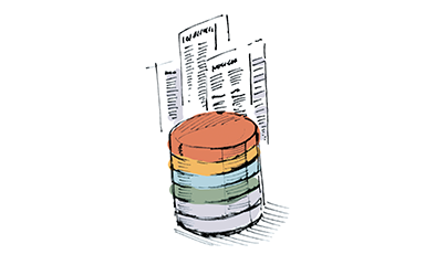
A number of datasets of the CH2018 scenarios are available for use in impact research and practical applications. Find here detailed information about these datasets, instructions for data access, as well as terms and conditions
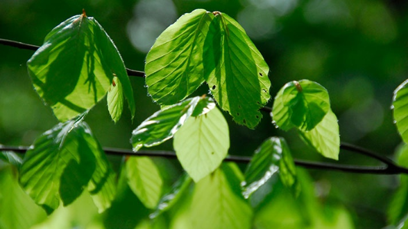
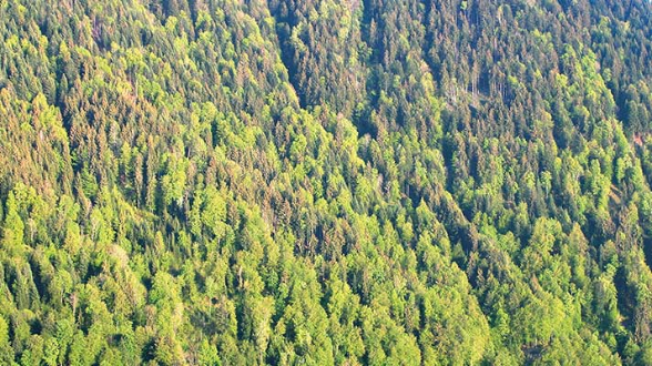
Visualise the current condition of Swiss forests with the FORTE app. Filter data by tree species or by area through an intuitive user interface to assess heat and drought induced stress and the consequences for forest health.
Visualise long-term projections of Swiss forests with the FORTE Future app. Future distributions of habitat suitability and genetic mal-adaptation for various tree species are available.
The Hydrological Atlas of Switzerland (HADES) is a platform on the topic of water. The "Hydro-CH2018: Scenarios till 2100" platform was newly integrated as part of Hydro-CH2018.
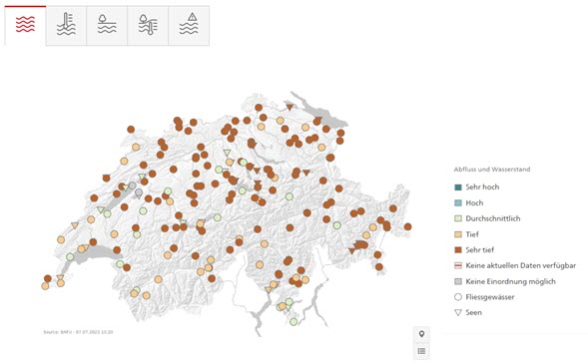
The Federal Office for the Environment (FOEN) operates the “Hydrological data and forecasts” website. This portal provides current and past hydrological data on rivers, lakes and groundwater in Switzerland as well as forecasts and flood warnings.
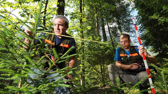
Since 1983, the NFI continuously monitors the status of Swiss forests and the changes they have undergone. NFI surveys are carried out every nine years.
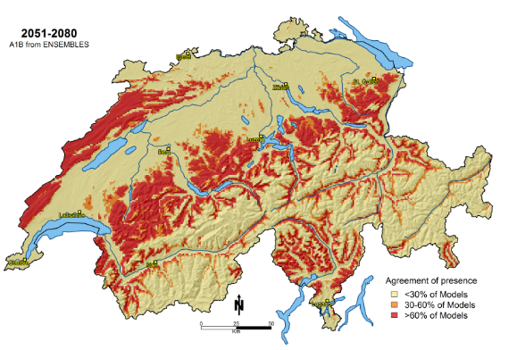
PorTree models the habitat suitability of major species of forest trees in Switzerland under the influence of climate change. It's a joint project run by the Swiss Federal Office for the Environment (FOEN) and WSL.
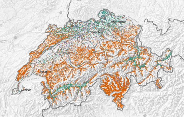
Where do ecologically valuable or rare tree species, such as oaks or yews, grow? The Swiss Federal Institute for Forest, Snow and Landscape Research (WSL) has developed the first high-resolution online maps that can provide detailed answers to such questions for 56 woody species found in Swiss forests.
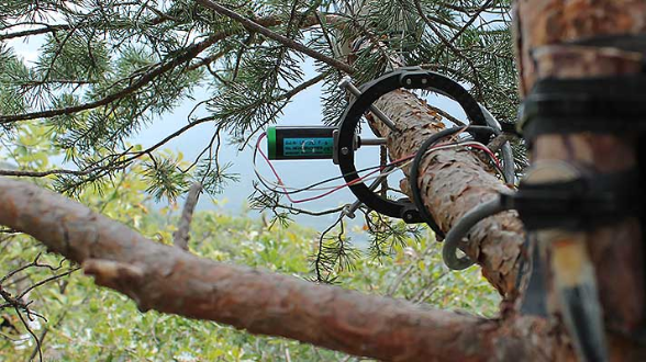
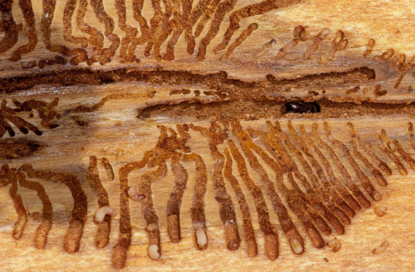
Borkenkäfer.ch presents current trends in bark beetle populations' distribution in Switzerland as well as the forecast spread of those populations up to the end of the year.
Agrometeo is a platform that gather information and decision support tools for guiding pesticide application in agriculture. It is based on a network of more than 150 weather stations that provide microclimatic inputs to various forecast models, which are used to predict the risks of disease and pest outbreaks.


.png)