Alps

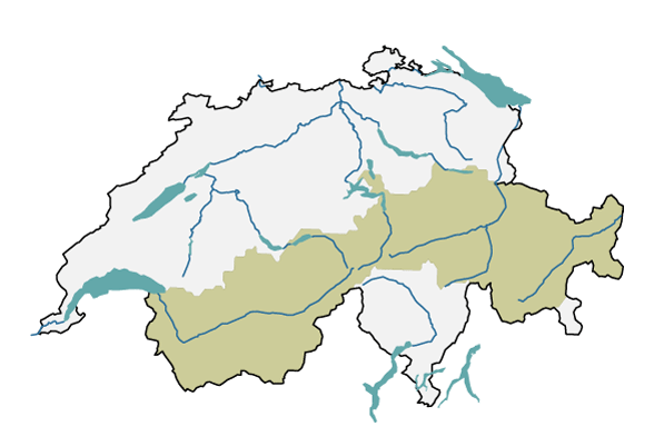
The major region of the Alps consists of the mountainous area from Great St Bernard in the canton of Valais all the way across to Samnaun in the canton of Graubünden at the eastern end of Switzerland. This page provides insights into today’s climate in the Alps, as well as detailed information about possible changes in the future.

A map of Switzerland is shown with the outline of the major region of the Alps. The region includes parts of the cantons of Vaud, Valais, Bern, Uri, Schwyz, Glarus and Graubünden.
The biogeographical major region of the Alps (in beige), according to the Federal Office for the Environment FOEN, used to develop regional climate scenarios.

Current climate

The largest volumes of precipitation fall in the Bernese, Urn and Glarus Alps. Conversely, the inner Alpine valleys are very dry. With the exception of low-lying valleys, there is almost always snow in winter. In valleys at higher altitudes, temperatures are often lower than the Swiss average for that particular altitude. In the foehn valleys, however, temperatures tend to be above average. At higher altitudes, frost can occur at any time of year.

Climate Change Scenarios CH2018 Alps

If global greenhouse gas emissions continue to rise unchecked, the most pronounced warming in Switzerland will be seen in the Alps, potentially around 2–4°C by the middle of this century. Winter precipitation is likely to increase, but because of the higher temperatures, it will fall more frequently as rain instead of snow. As a result, the number of days with fresh snowfall will decrease.

Last modification 07.09.2023

Top of page

Contact

Federal office of meteorology and climatology MeteoSwiss
Operation Center 1
P.O. Box
CH-8058 Zurich-Airport

Contact

Print contact

https://www.nccs.admin.ch/content/nccs/en/home/regionen/grossregionen/alpen.html